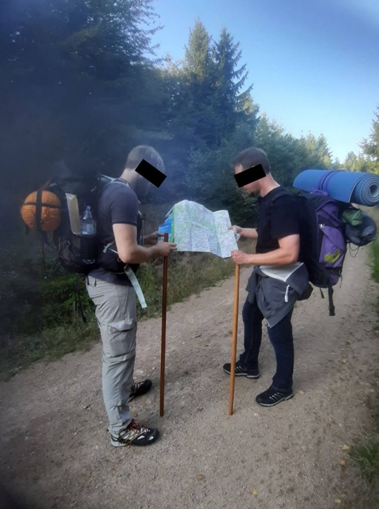
Being able to determine where you are, where you want to go and how to get there are crucial skills to have. This is true not only in any escape and evasion or survival scenario, wherein navigating from a place of danger to one of safety is essential, but also while simply hiking and enjoying nature or travelling in a new city, and more importantly, in life generally. The following are the fundamental tasks we train in to acquire a basic level of proficiency in land navigation:
Understand your map (scale, grid system, topographic symbols, colors, etc.)
Plot grid coordinates on a map
Determine grid coordinates of a point on a map
Determine grid azimuth using a map and protractor
Determine magnetic azimuth using a compass
Convert between magnetic and grid azimuths (magnetic to grid: easterly-add, westerly-subtract; grid to magnetic: easterly-subtract, westerly-add)
Calculate back azimuths (0-179, add 180; 180-359, subtract 180)
Determine elevation of a point on a map
Identify terrain features on a map
Orient a map using a compass
Orient a map by terrain association
Determine a location on the ground by terrain association
Locate an unknown point on the ground by:
-Resection
-Modified resection
-Intersection
Measure distance on a map
Track pace count (pace beads, pebbles, notches carved in a stick)
Plan a route:
-Direct line point-to-point (“bee line” or “dead reckoning”)
-Avoid obstacles (90x90x90 or contour)
-Handrail
-Backstop
-Deliberate offset
-Panic azimuth
Navigate from one point to another
Determine direction without a map or compass
-Sun (observe sun’s position in the sky, shadow stick, wristwatch method, shadows pointing north at midday in the northern hemisphere)
-Moon (observe full moon’s position in the sky, use horns of crescent moon to find south, use illuminated side of the moon to determine east or west, moon version of the shadow stick method)
-Stars (find the North Star with the Big Dipper, Little Dipper or Cassiopeia, find south with the Southern Cross, use Orion’s Belt, star version of the shadow stick, LURD method)
-Vegetation (density of growth, rings of felled trees)
-Prevailing winds (leaning vegetation, bird or insect nests on protected side)
-Use higher ground to gain perspective
-Make an improvised compass with needle or razor blade